Two More Cents

#Take a Hike

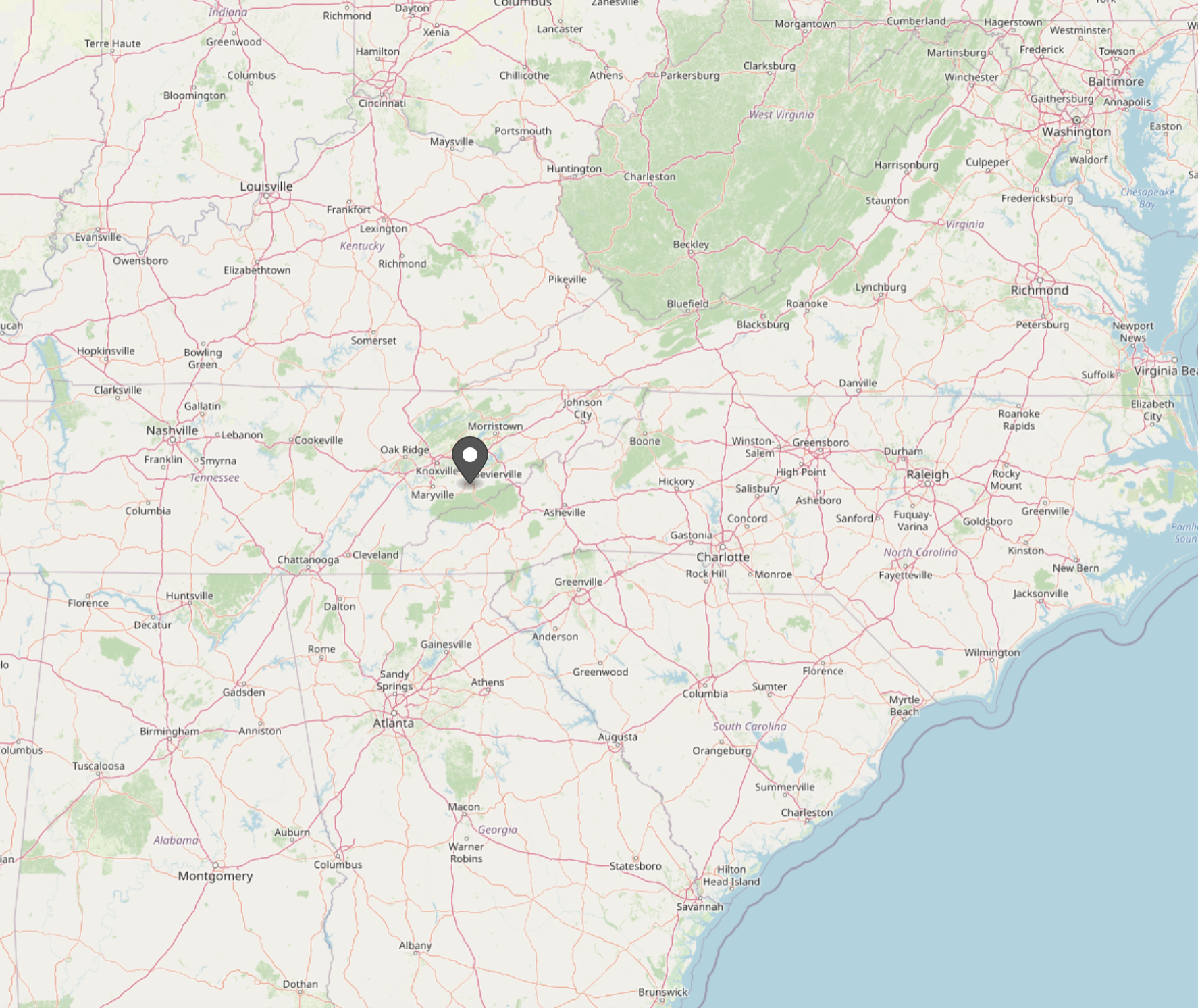
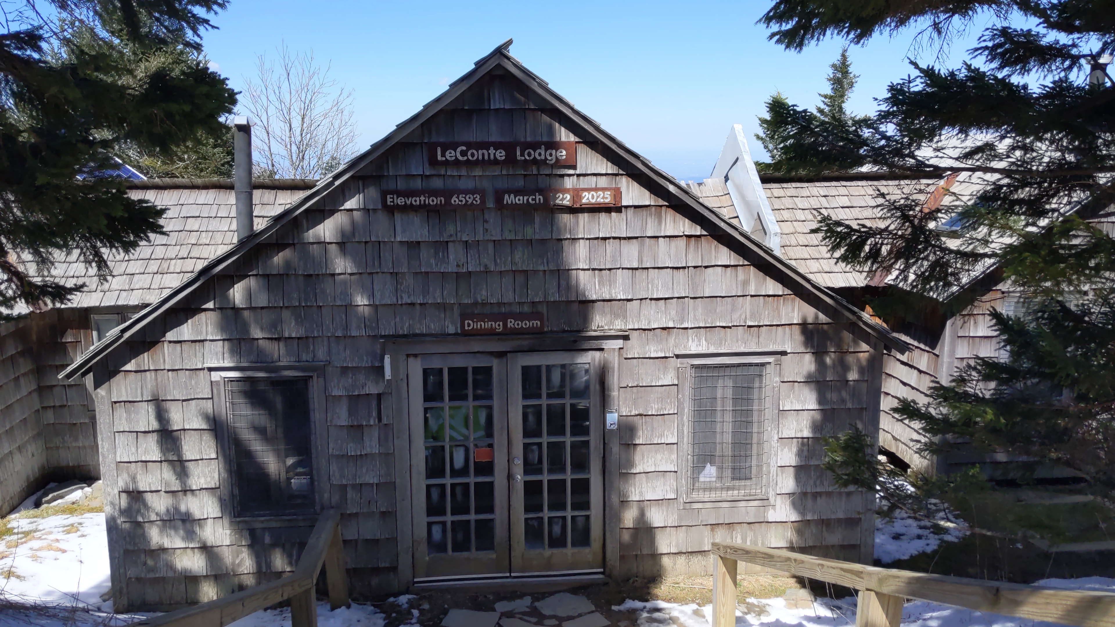
Around two weeks ago, some friends and I made a trip to the Smoky Mountains. We stayed at a cabin near Pigeon Forge, TN, getting there Friday evening (March 21st) and leaving Sunday morning (March 23rd). It was a great time, and a much-needed break from work. It was definitely too short (I think the same can be said of every trip), but we made full use of our time there. The highlight of the weekend (and the focus of this post) was the day-long hike up Mt. LeConte, the third highest peak in the Smoky Mountains (6,593 feet).

Pigeon Forge, TN (Credit: Openstreetmap)

Mt. LeConte (Credit: Bneu2013 on Wikipedia)

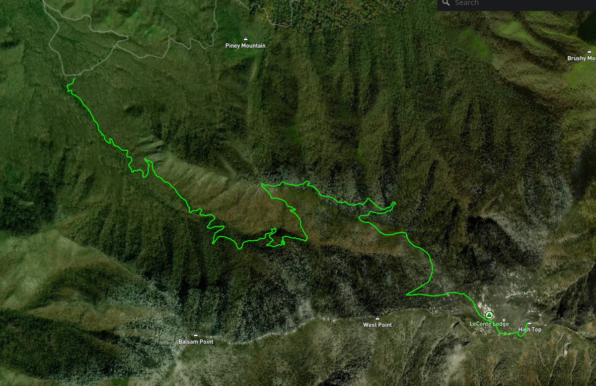
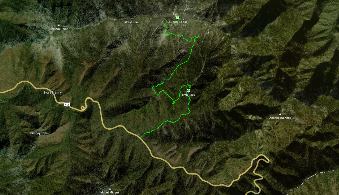
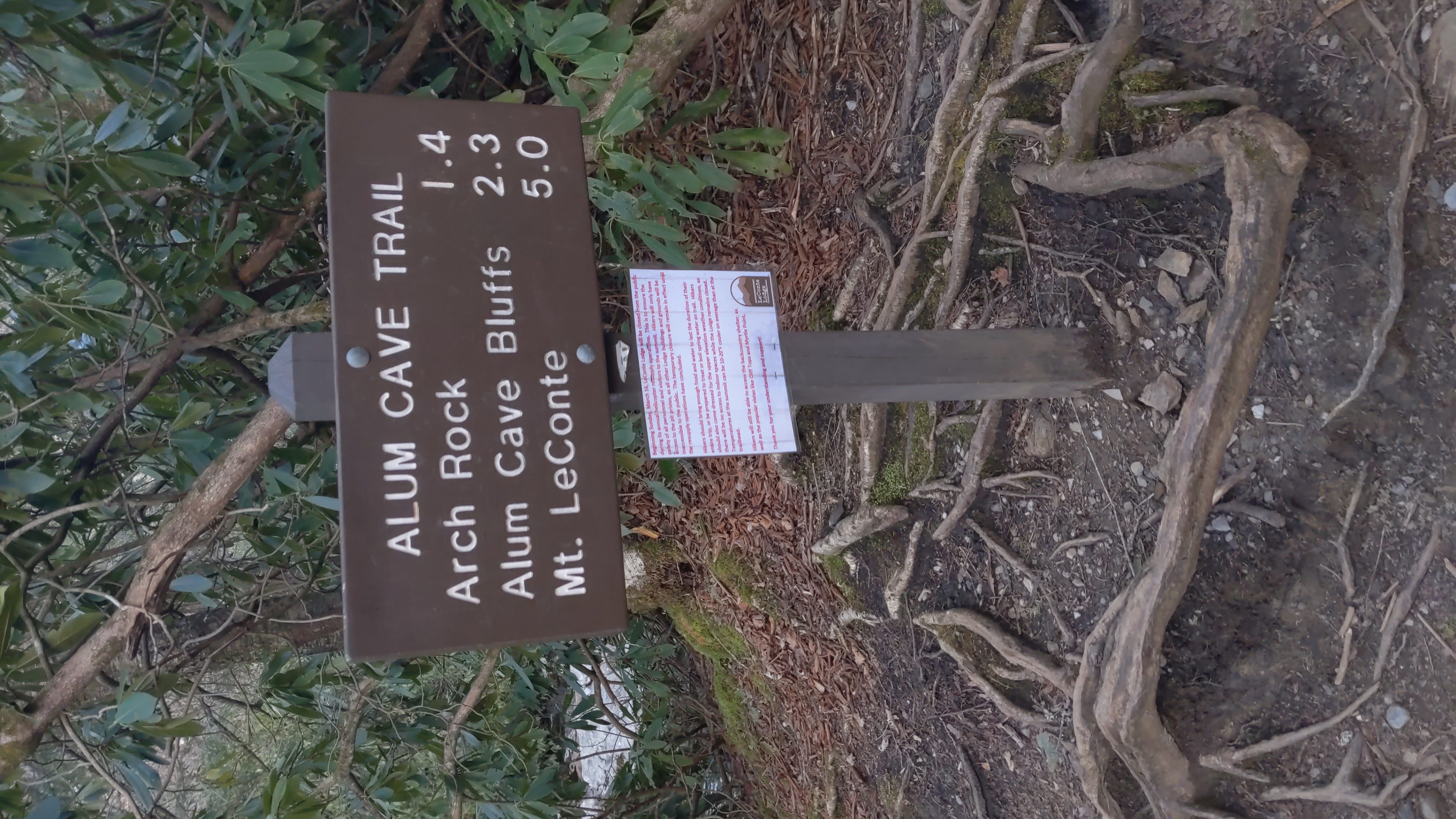
The hike started around 9 AM, from the Rainbow Falls visitor center. To get the most out of our day, we decided to hike on two different trails - going up the Rainbow Falls trail (a 6.5 mile journey), and coming down the Alum Caves Trail (5.5 miles). To facilitate this, a few of the hikers in our group had dropped their cars at the Alum Caves Trailhead, and hitched a ride to the visitor center (the rest of us had driven straight to the visitor center). After coming down the Alum Caves route, the drivers would hitch a ride to their cars, and drive back to pick up those who had carpooled.

The trail up Rainbow Falls (Credit: Mapbox and Openstreetmap)

This was my first real hike (I had done smaller ones with my family before, but nothing of this length), so I didn’t really know what to expect. The absolute last thing I wanted to do was make a fool of myself and let down my group, by giving up halfway through, forcing them to come down with me. I consider myself relatively fit, so I wasn’t too scared of this, but it was a concern nonetheless.

As it turned out, my concerns were completely unfounded. I was able to finish the hike, and had a ton of fun doing it. It definitely helped that I was hiking with friends, but I’m also proud of myself for completing it.

If I learned one lesson on the hike, it was the importance of packing light. I was paranoid about running out of food, so I packed enough food for two meals. “Smart move”, you might think, but my backpack ended up weighing around 30 lbs. Carrying that for 6 miles (and up 1,500 feet of elevation) was annoying. I learned from my friends that there are three main categories of food to pack on a hike:

  1. Something filling, with lots of protein
  2. Something with carbs, for quick energy
  3. Something salty, with electrolytes

Of these, I think the second is probably the most important. If you’re health-conscious like I am, fruits are probably the best foods in this category.
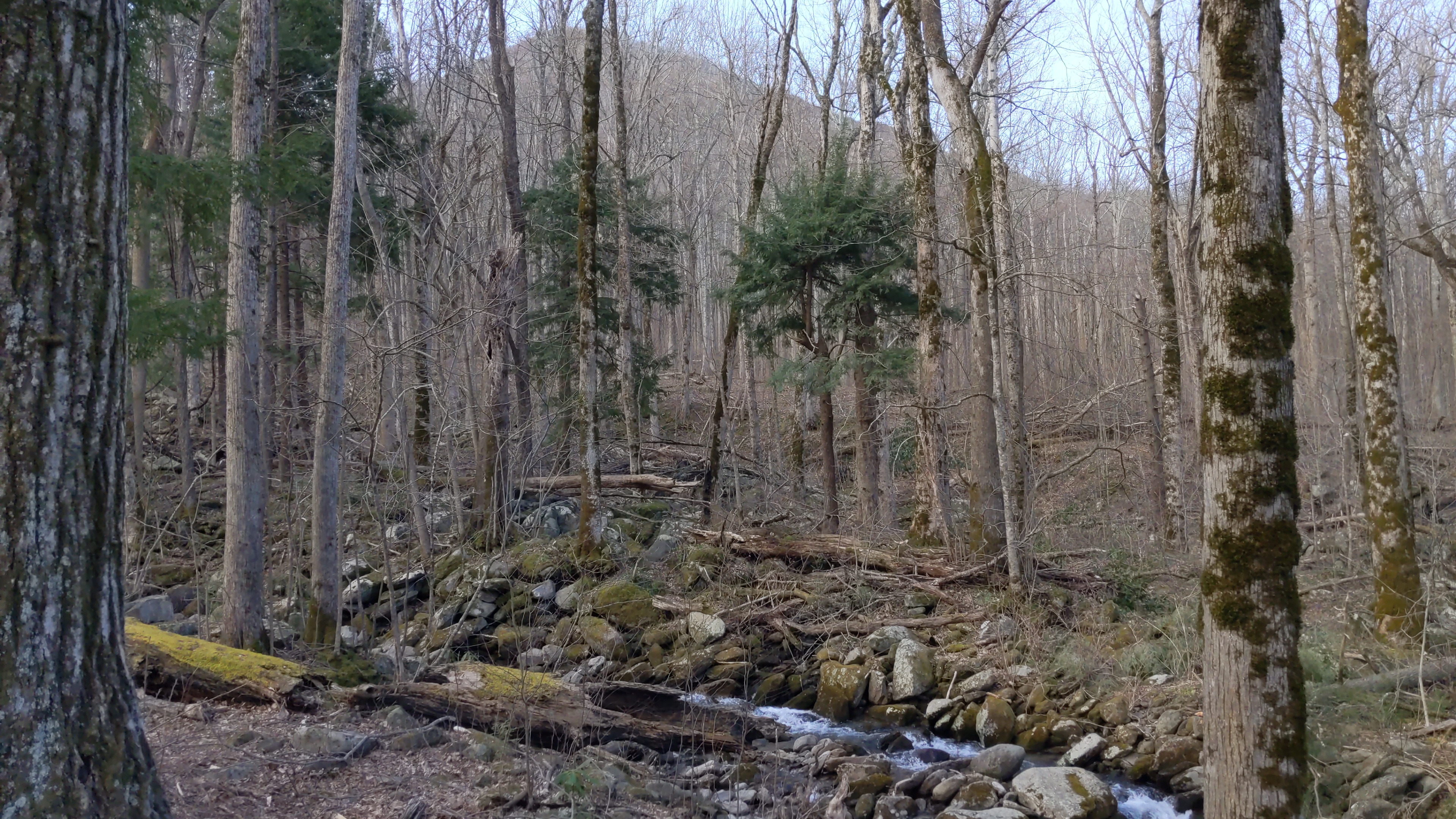
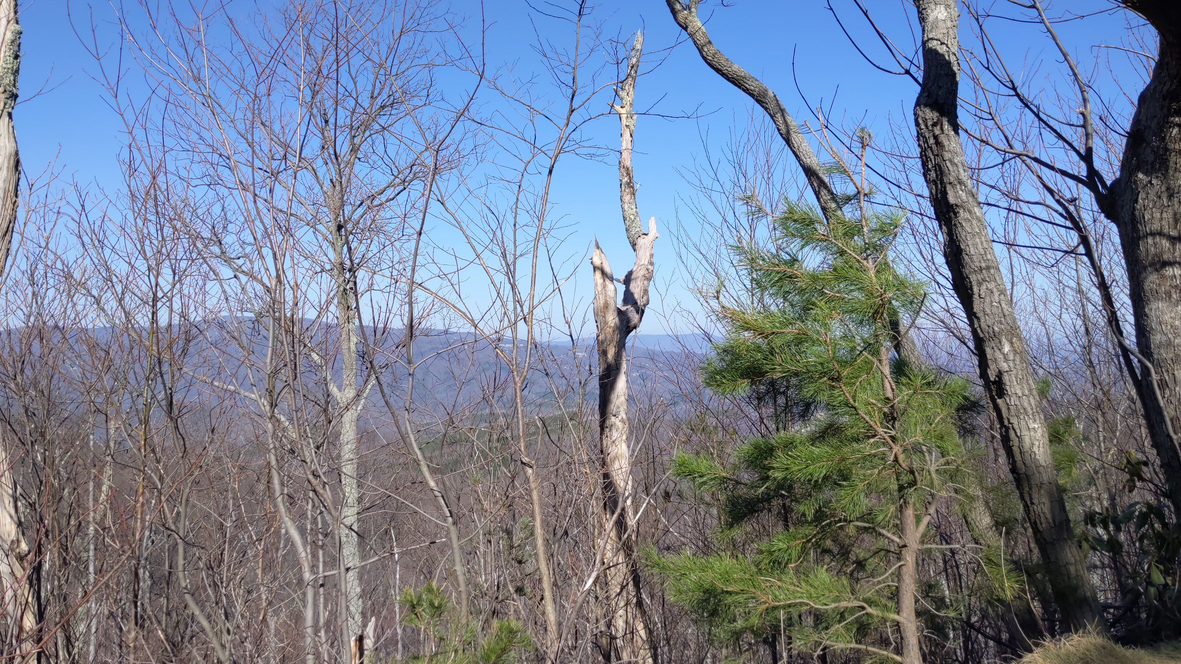
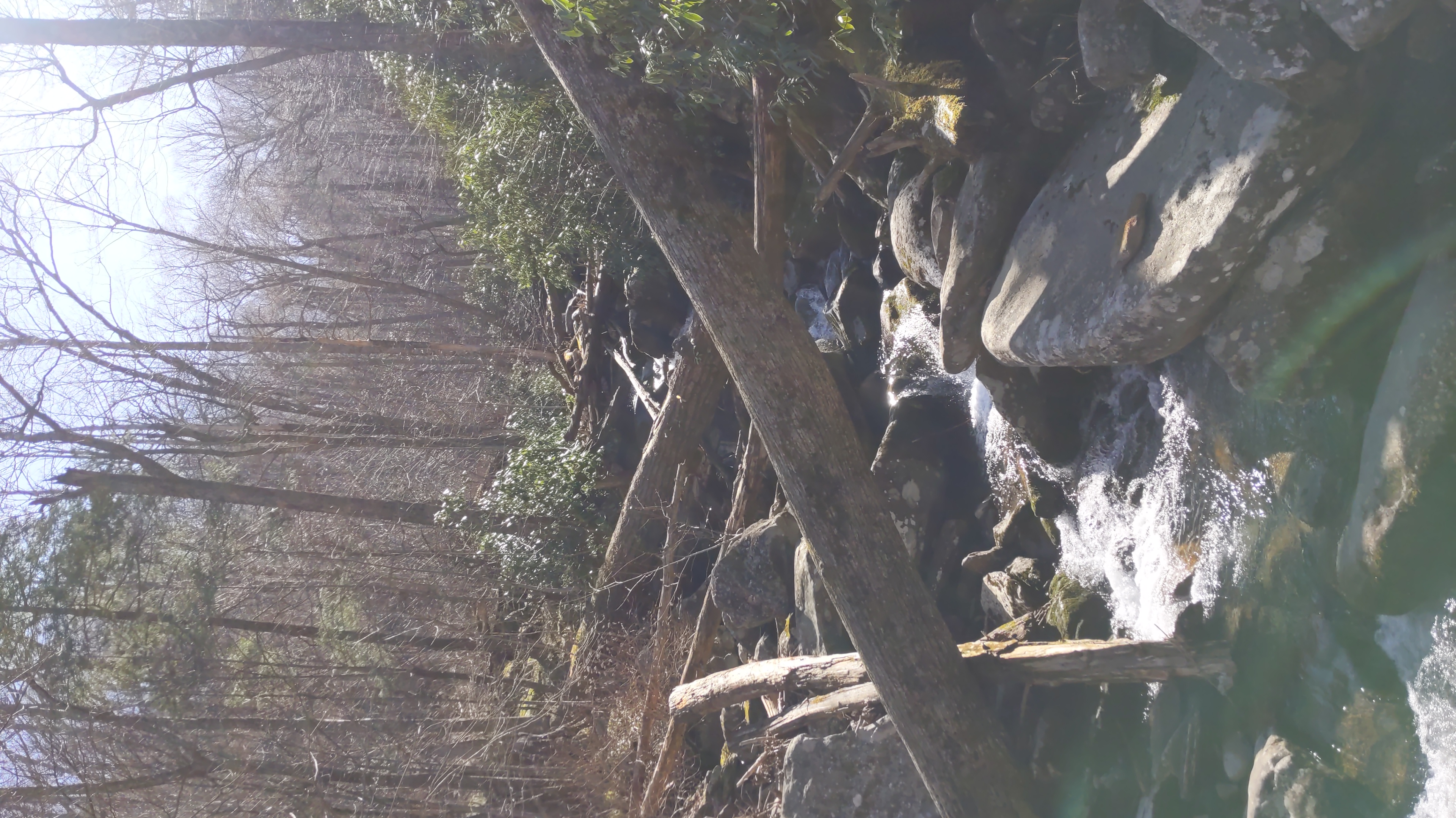
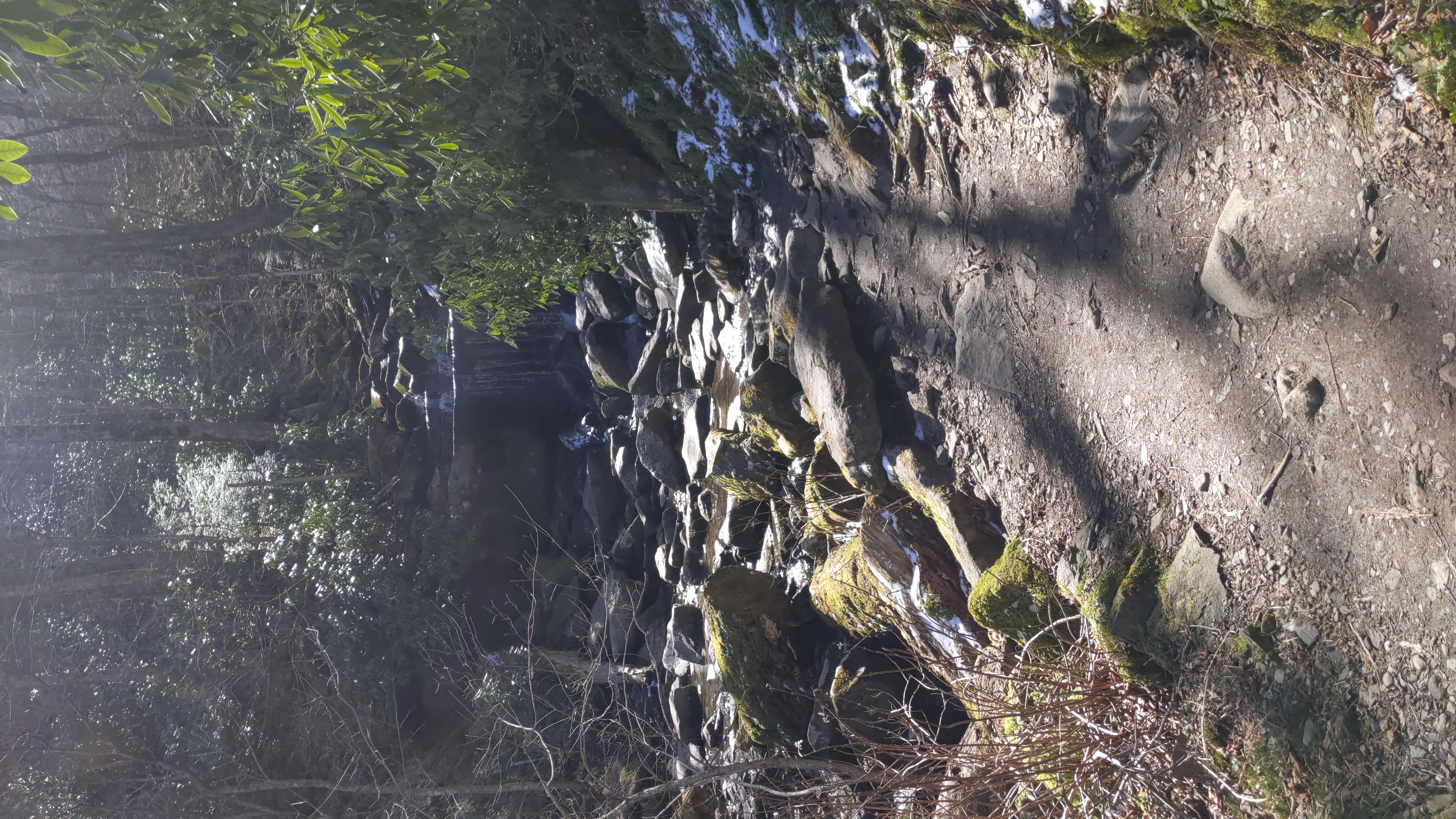
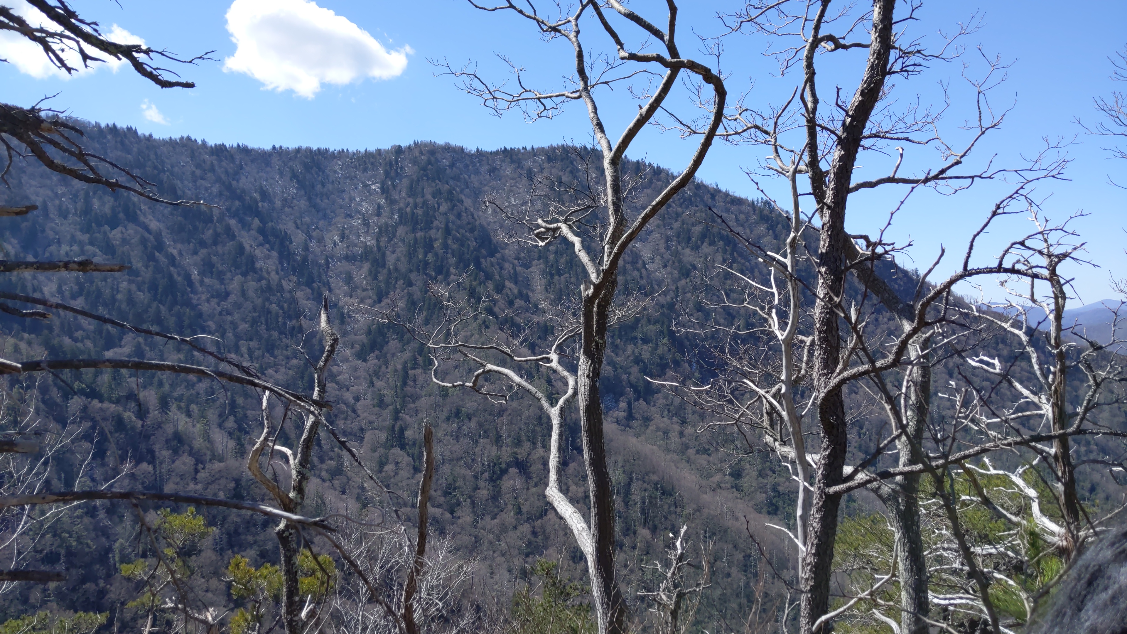
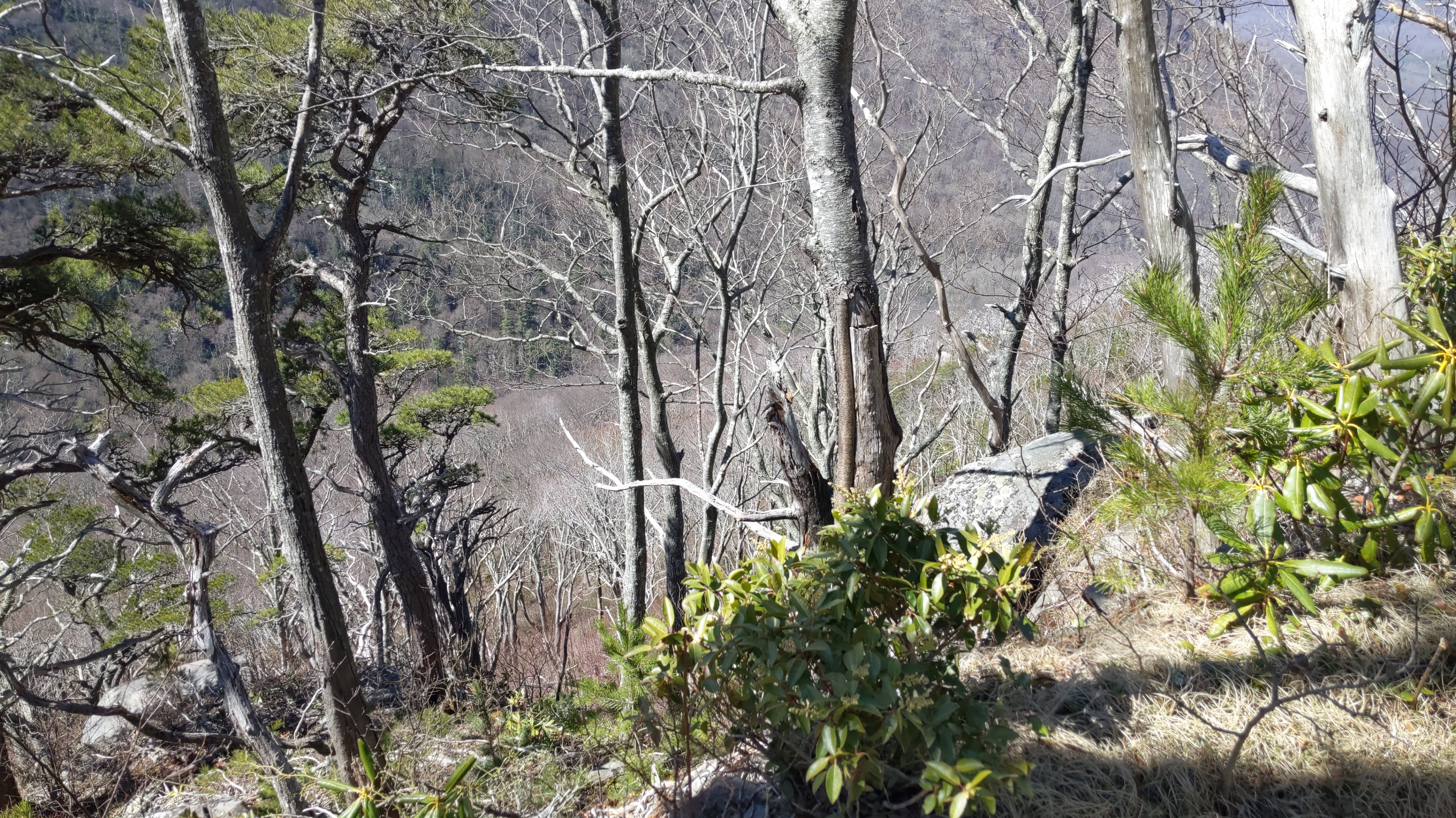
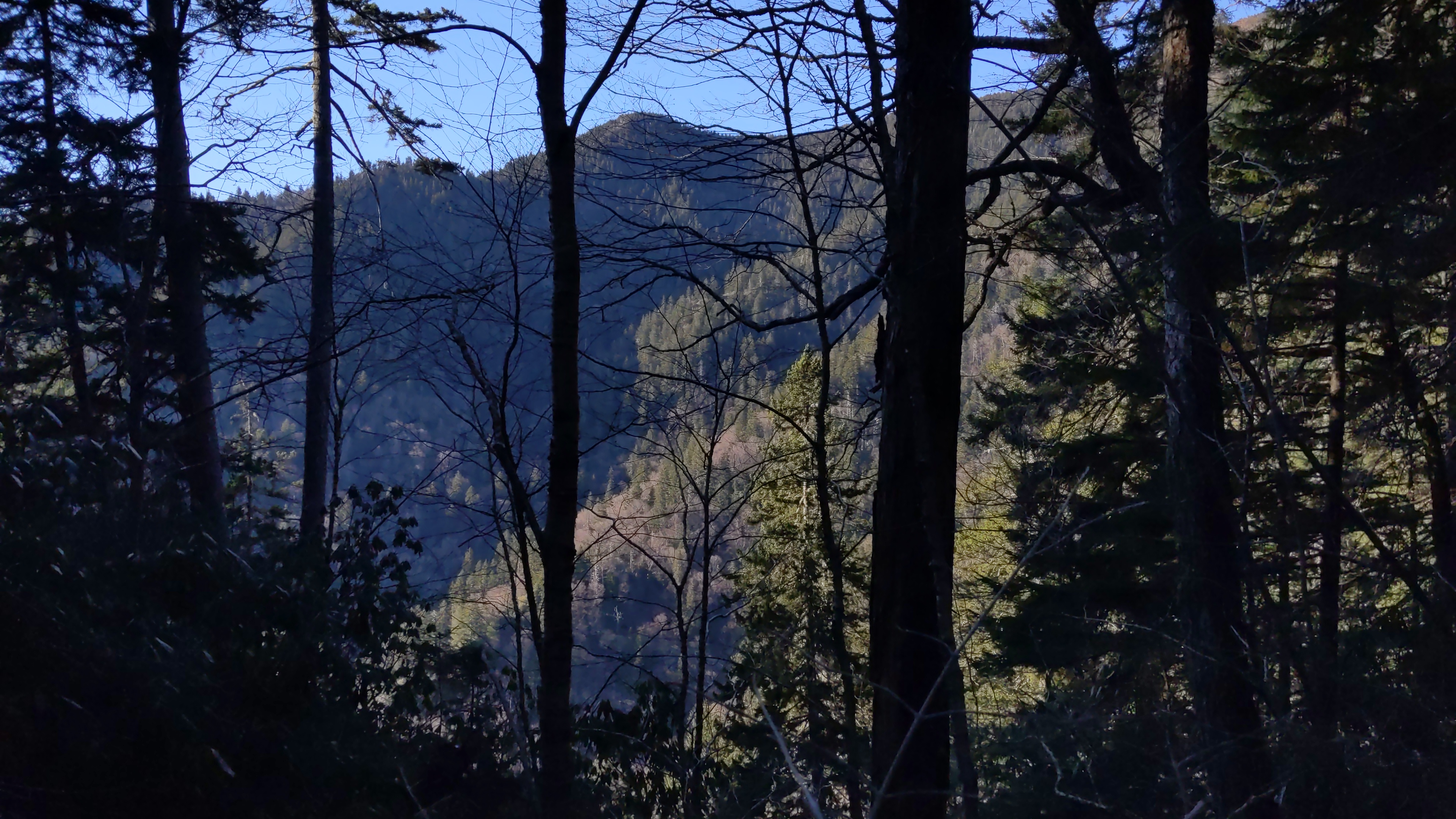
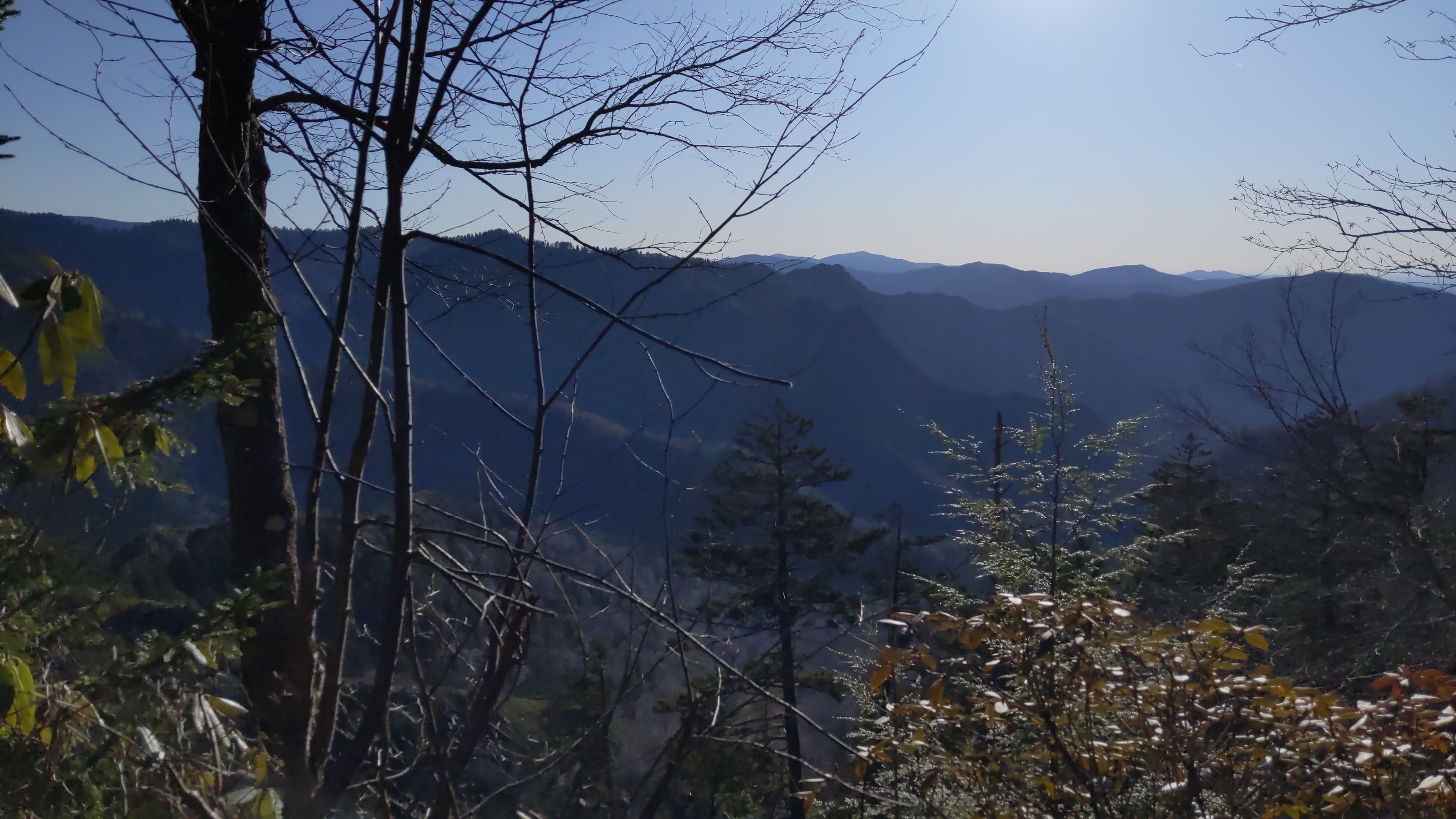
#Rainbow Falls

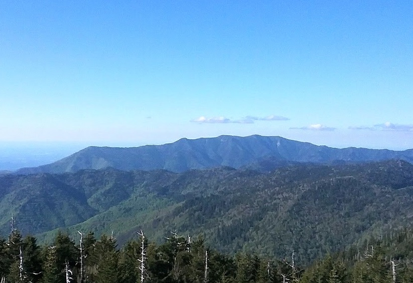
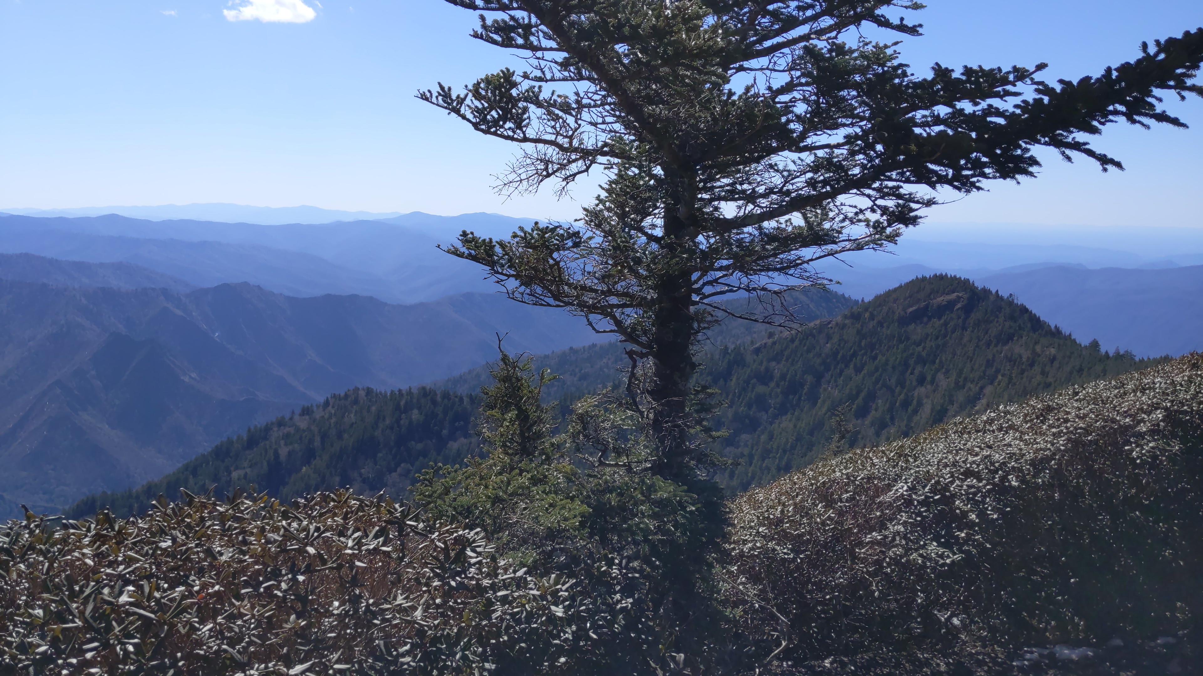
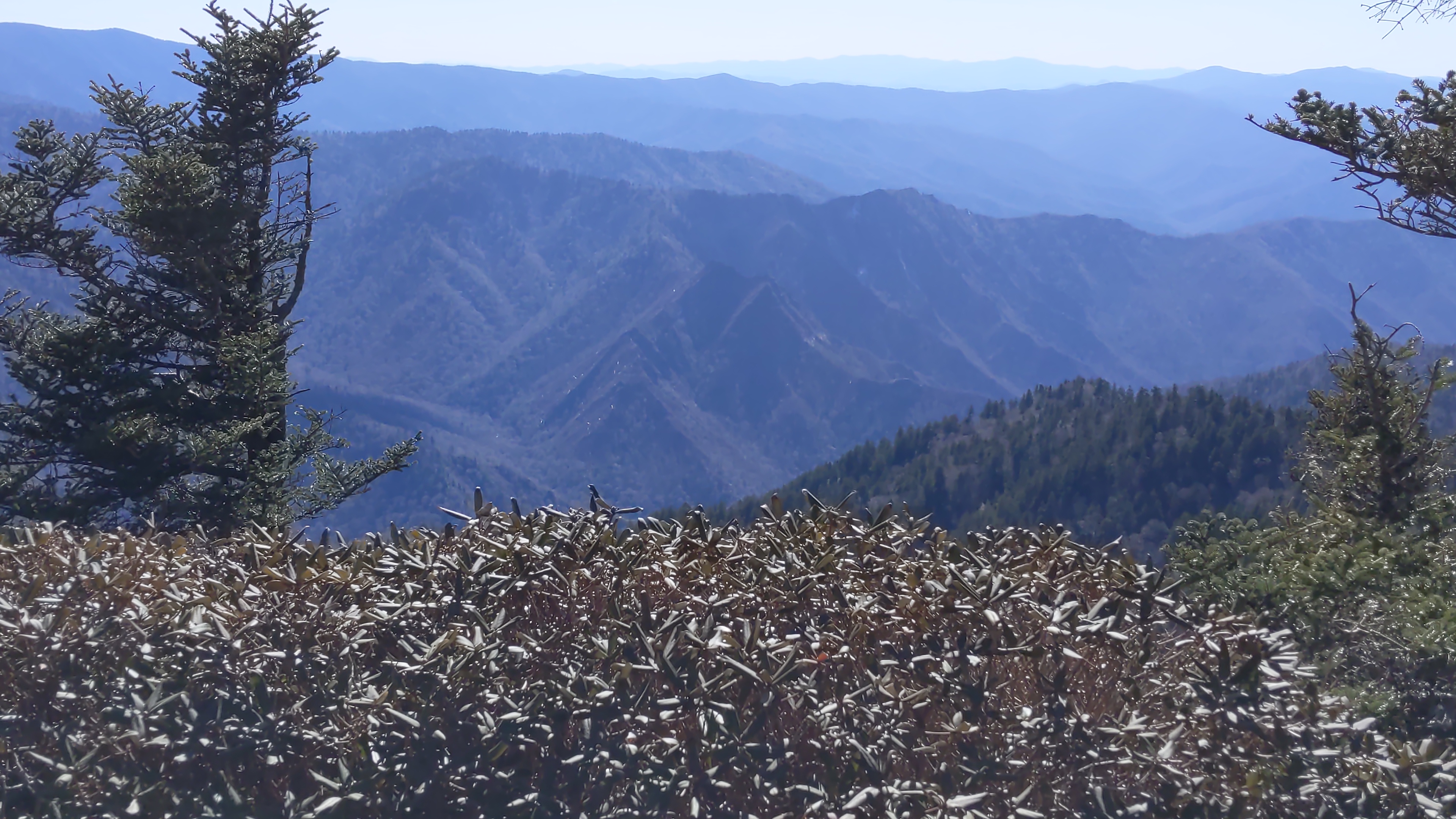
All that said, here are a few pictures from the hike up Rainbow Falls trail. I didn’t have a camera with me, so these pictures were taken on my Pixel 3.
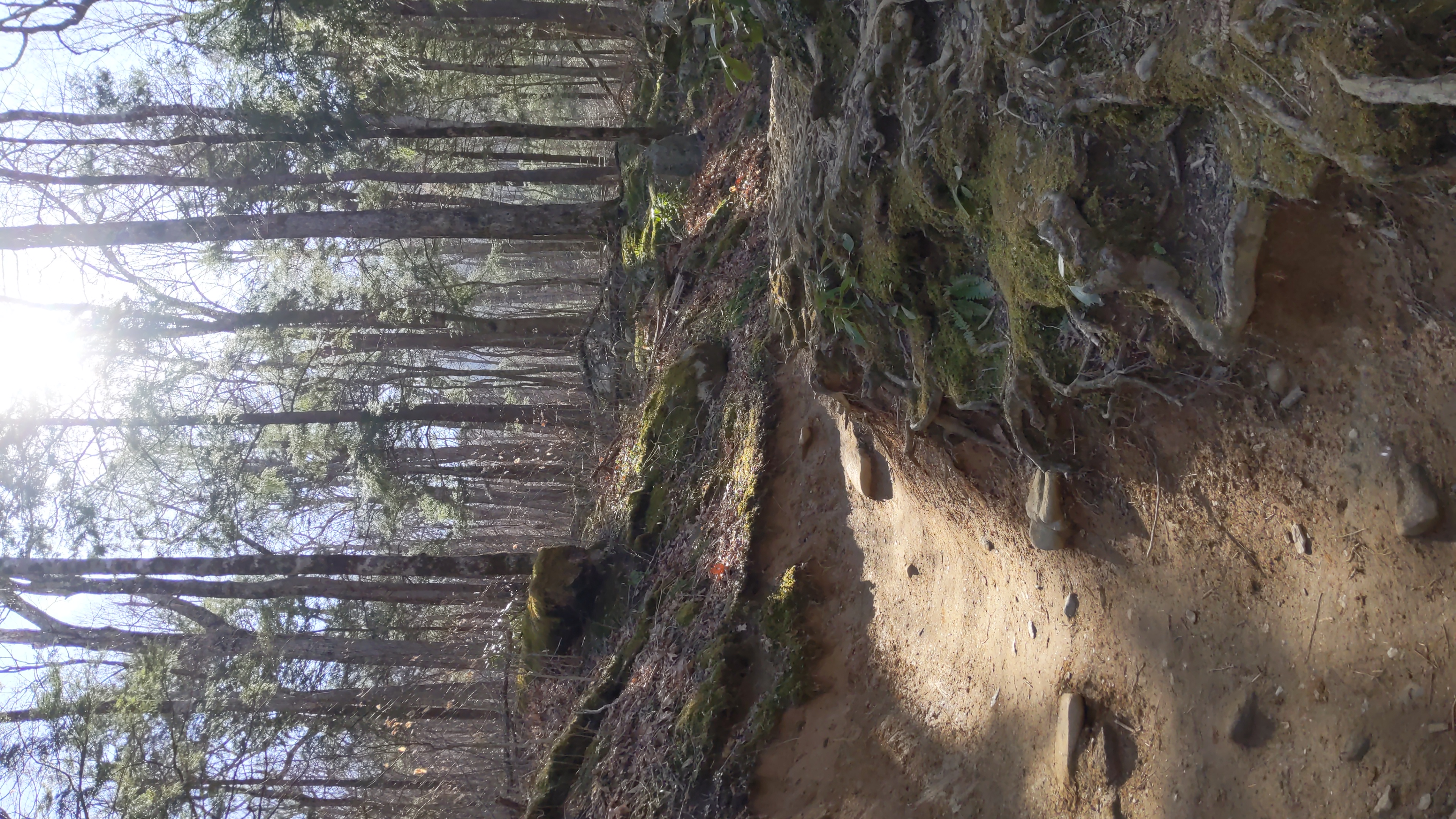
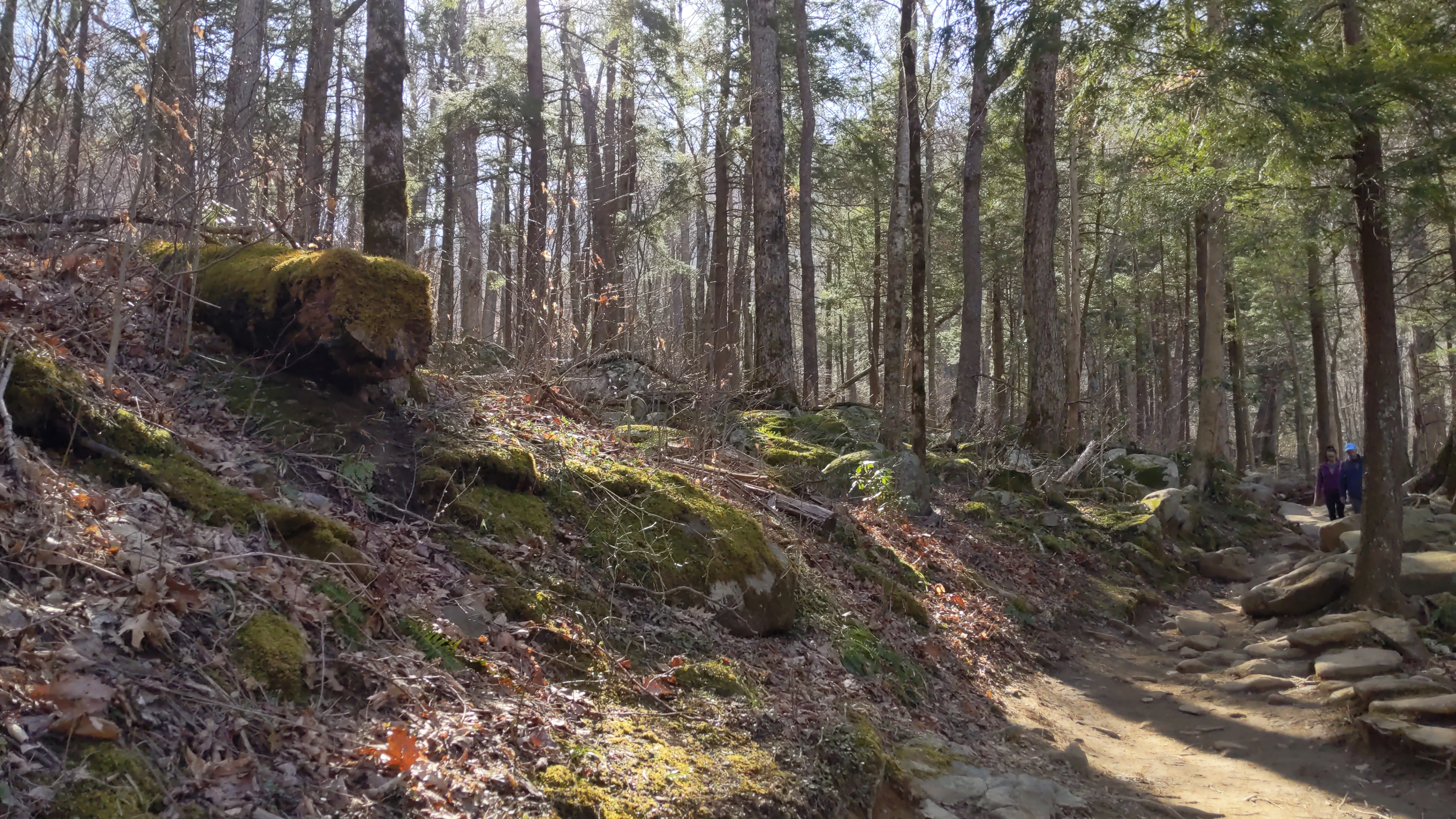
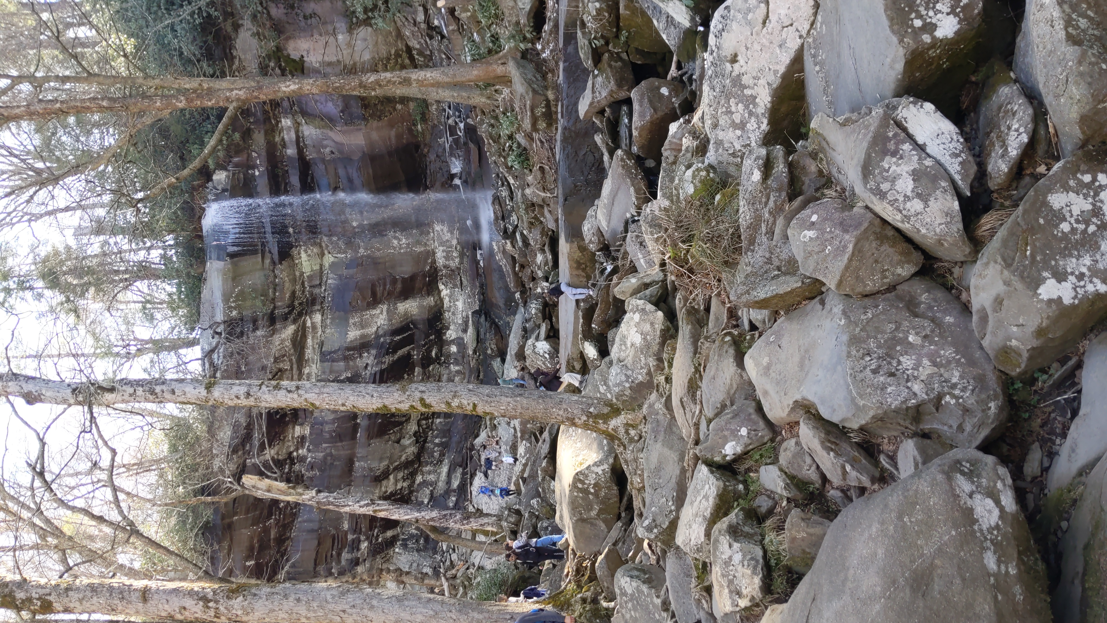
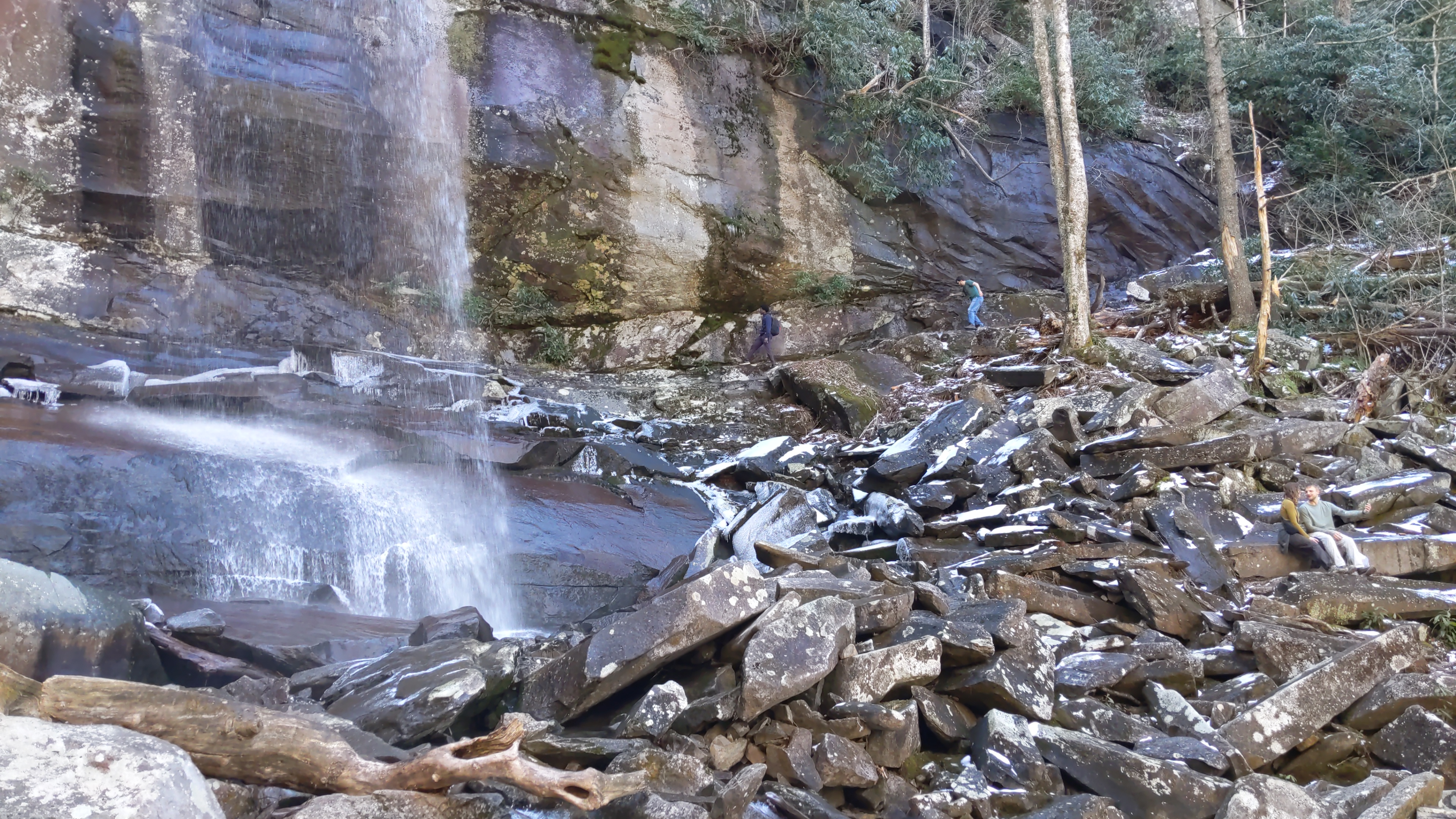
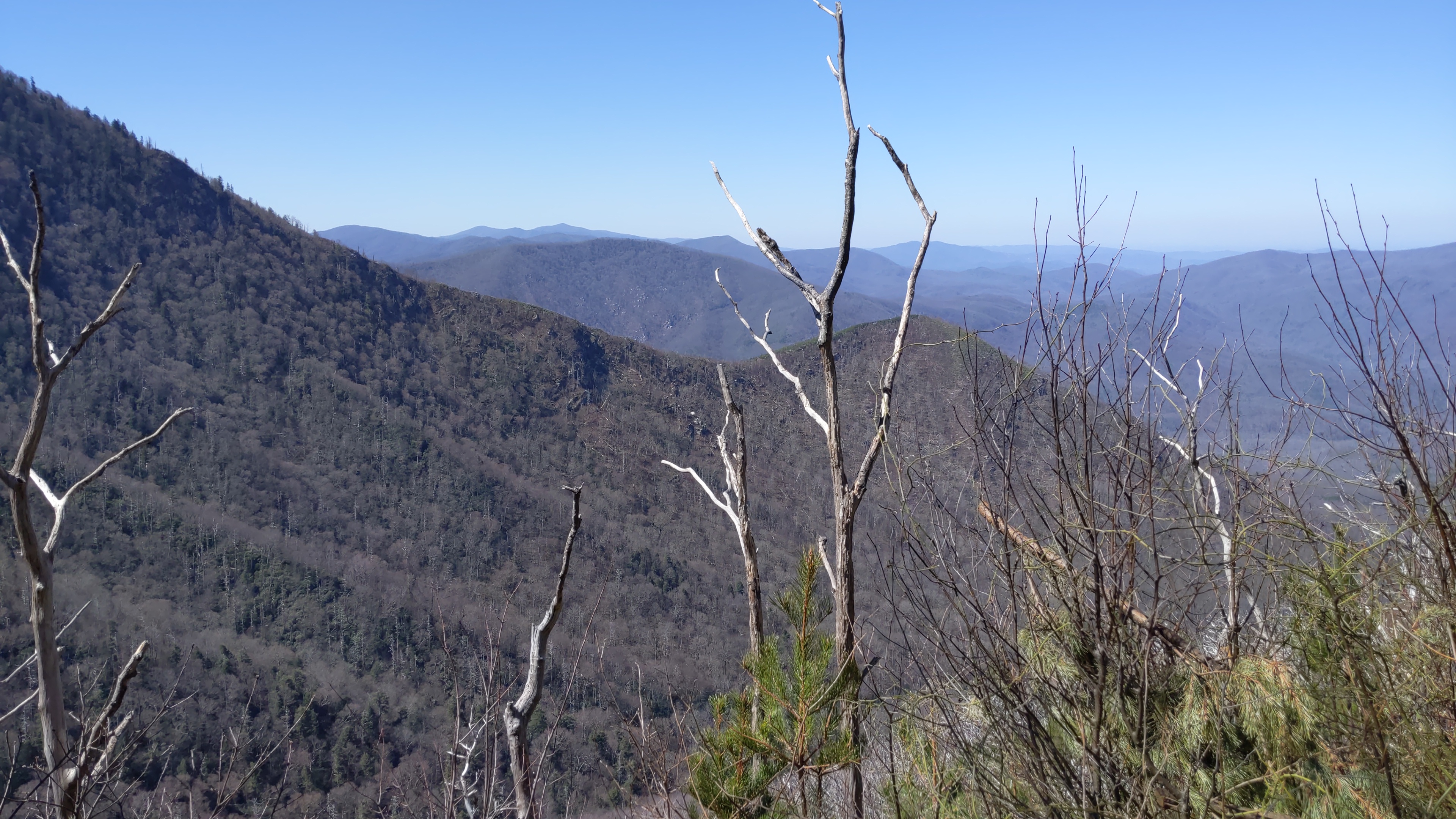
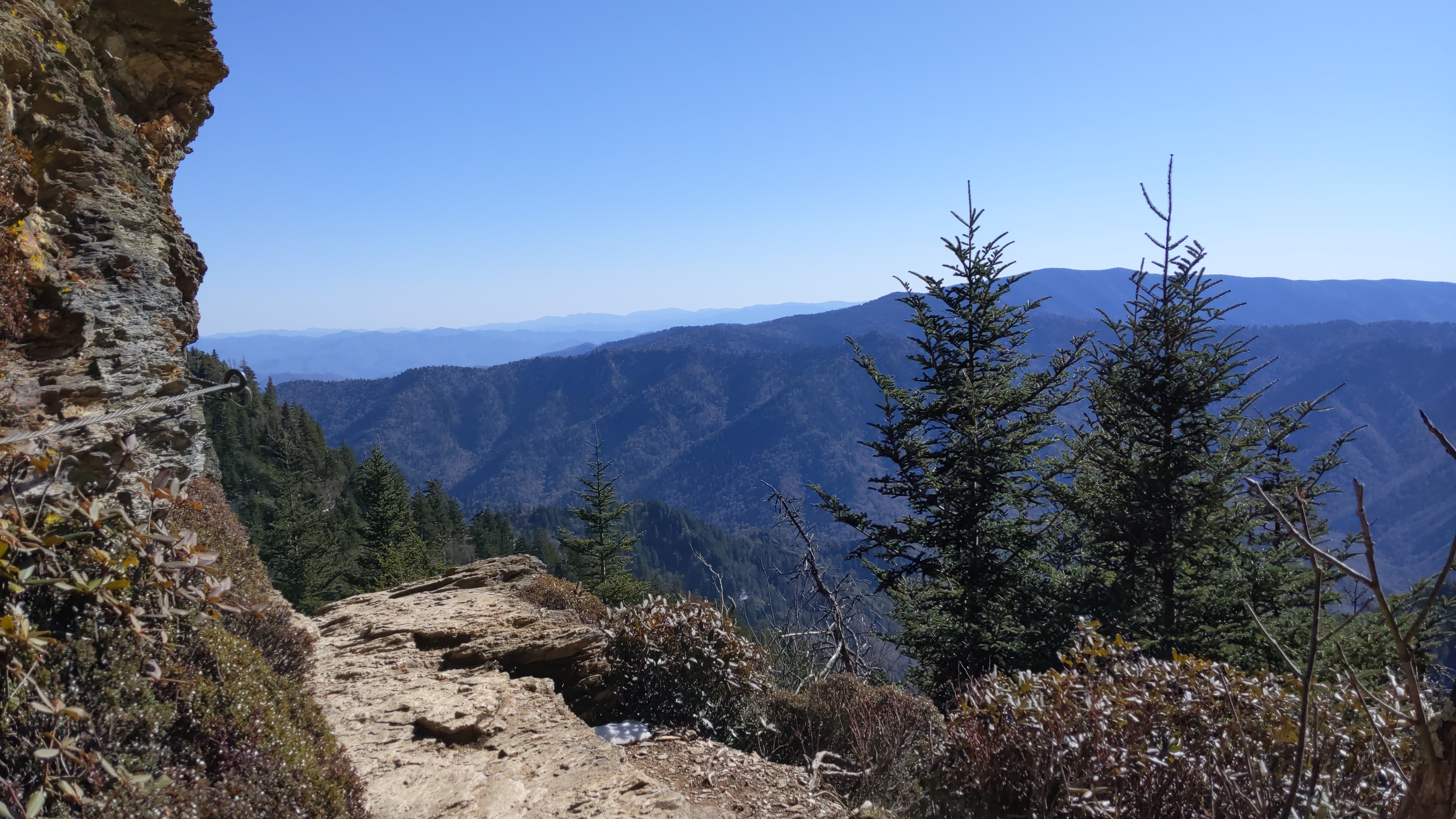
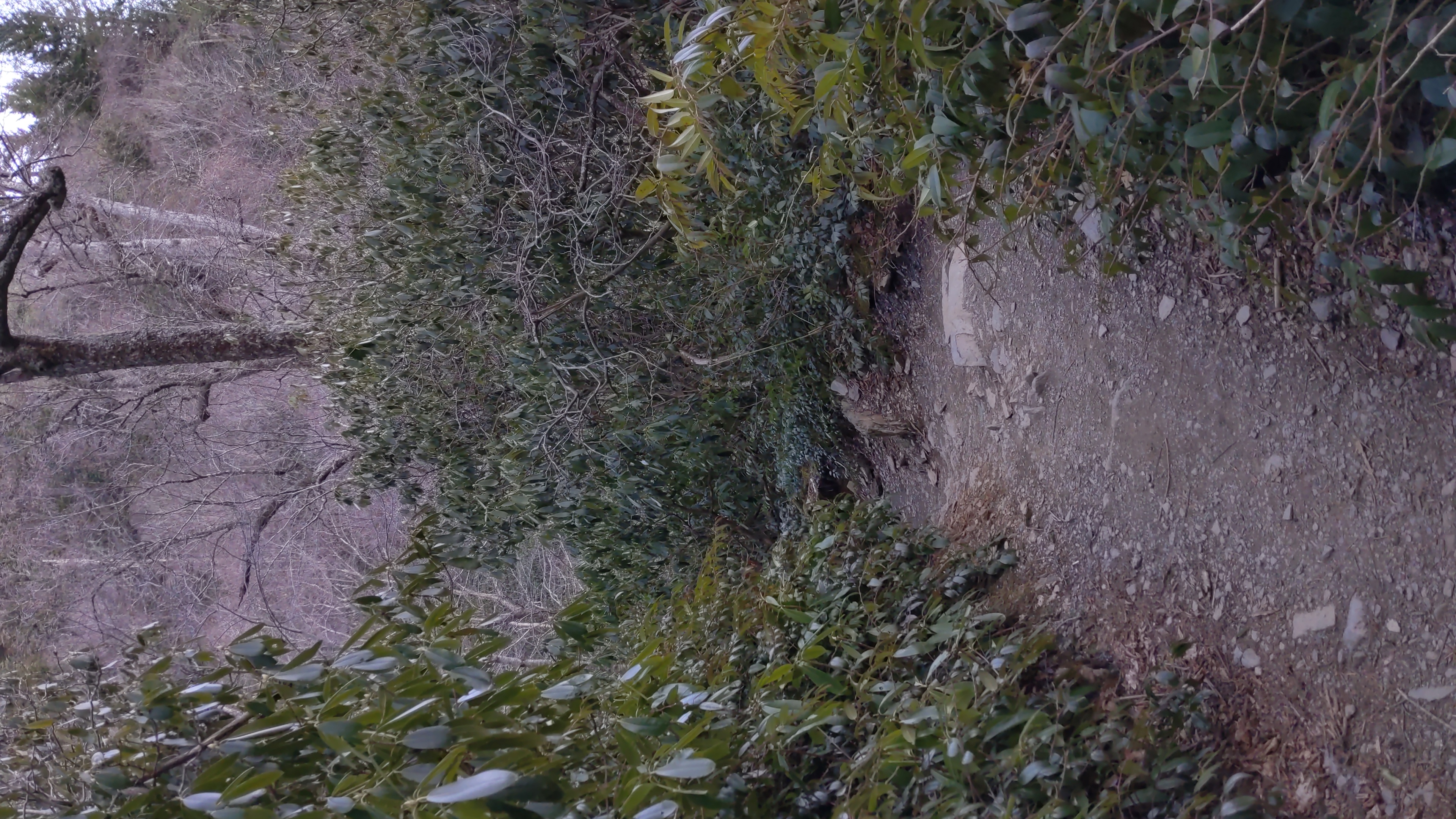
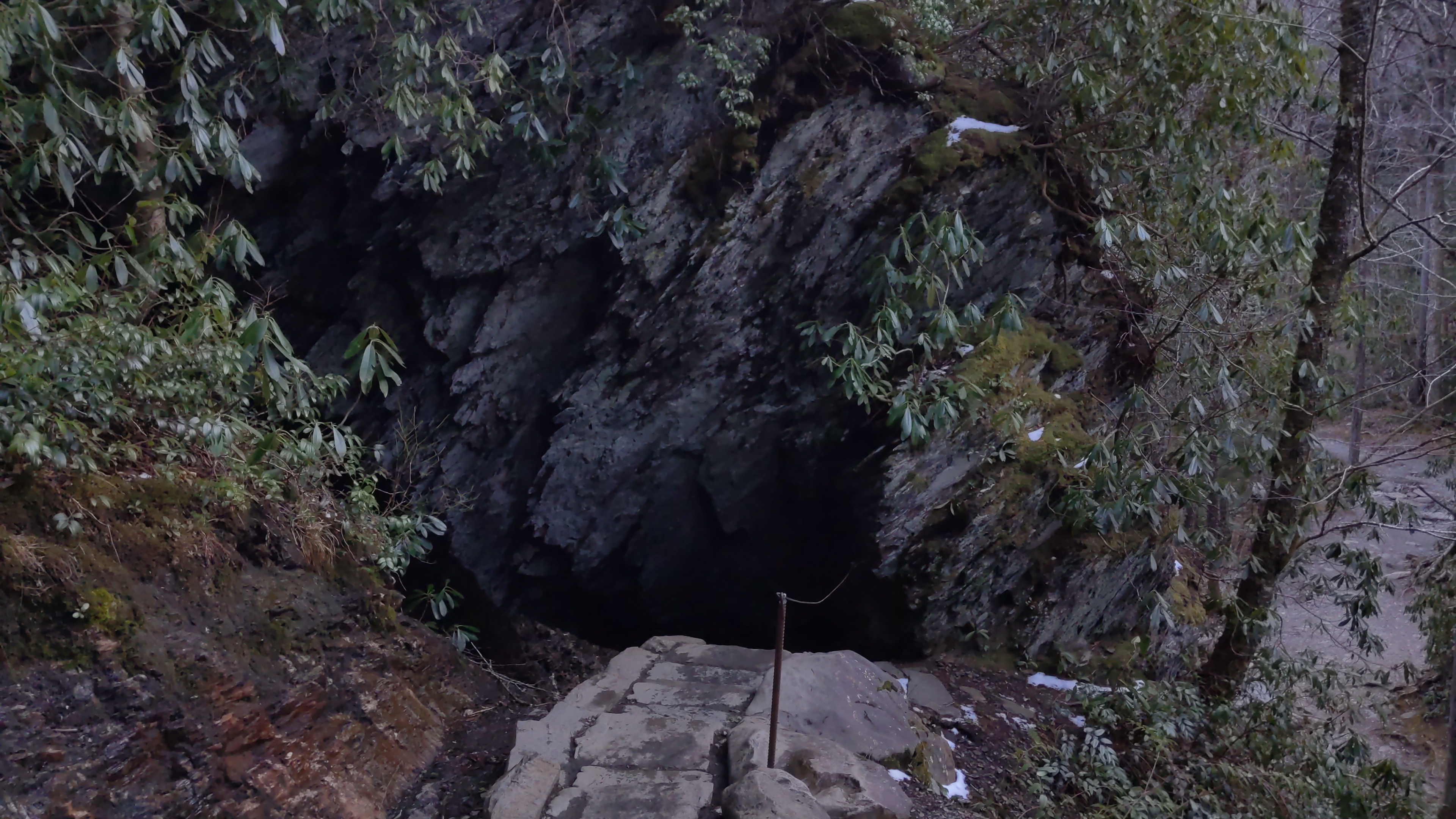
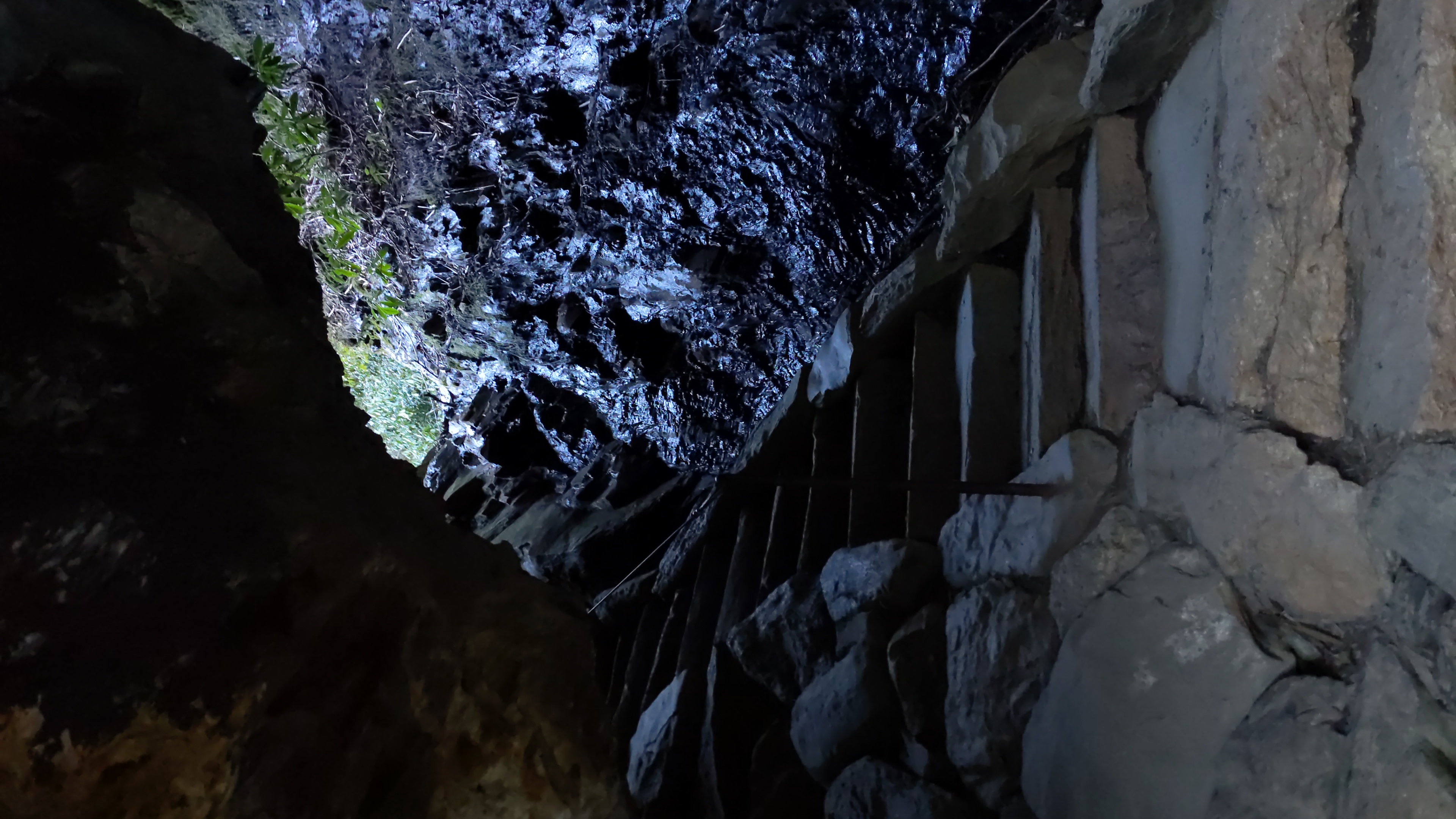
Moments after starting the hike (10:06 AM)

Our first glimpse of the other mountains in the range (10:32 AM)

A view of the earlier stages of the trail (10:45 AM)

Another view of the trail, and the towering trees that surrounded us (10:45 AM)

The creek that runs downstream of Rainbow Falls (11:01 AM)

The first sighting of snow on the trail; a smaller waterfall in the distance (11:19 AM)

Rainbow Falls in all its glory (11:30 AM)

A couple of my friends sneaking behind the falls (11:43 AM)

The trail starts getting very snowy (and icy) (12:12 PM)

Seeing the peaks of neighboring mountains (12:29 PM)

Staring down ~4000 ft. The type of vegetation has also changed; dry, leafless trees (12:30 PM)

The view from a lookout point around the same altitude (12:31 PM)

LeConte Lodge, 1 mile from the summit (2:45 PM)

A close-up of the lodge. Unfortunately, it was closed when we visited (2:46 PM)

#Alum Caves

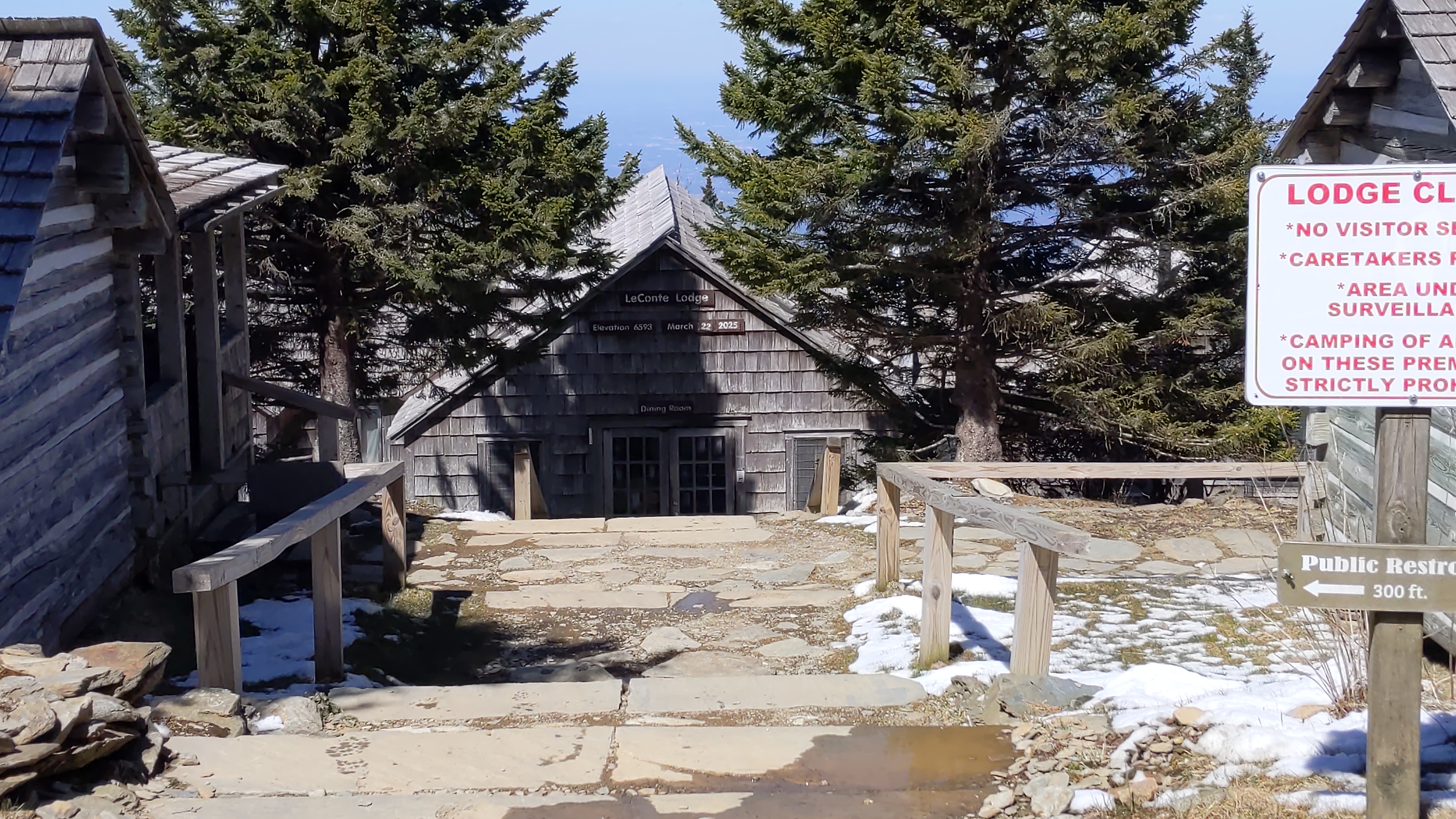
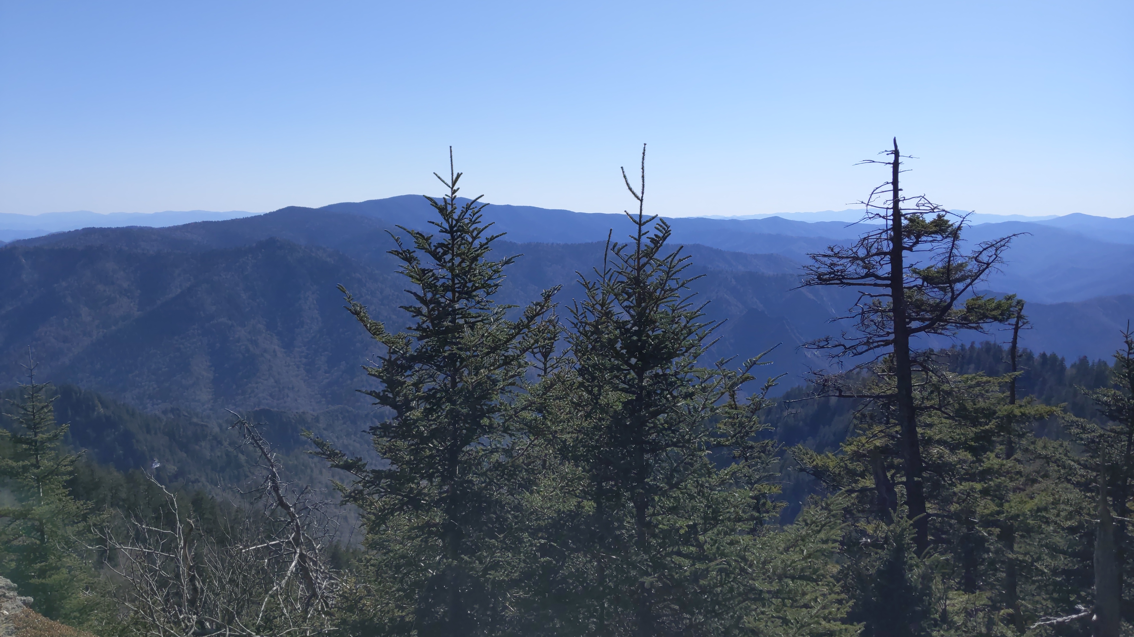
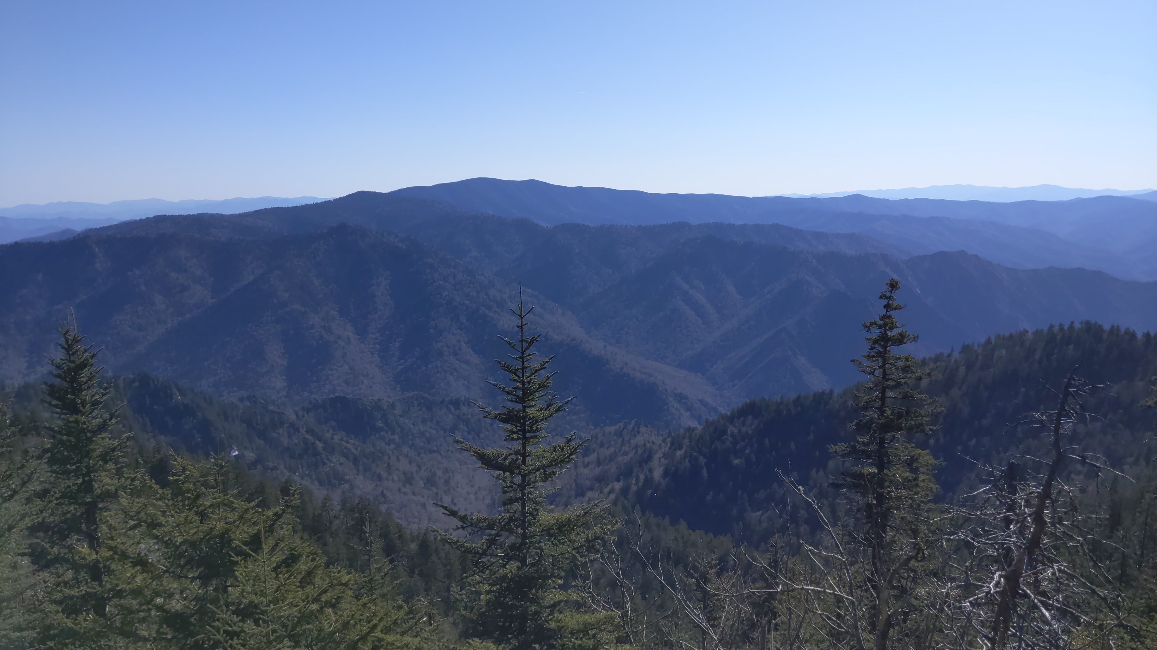
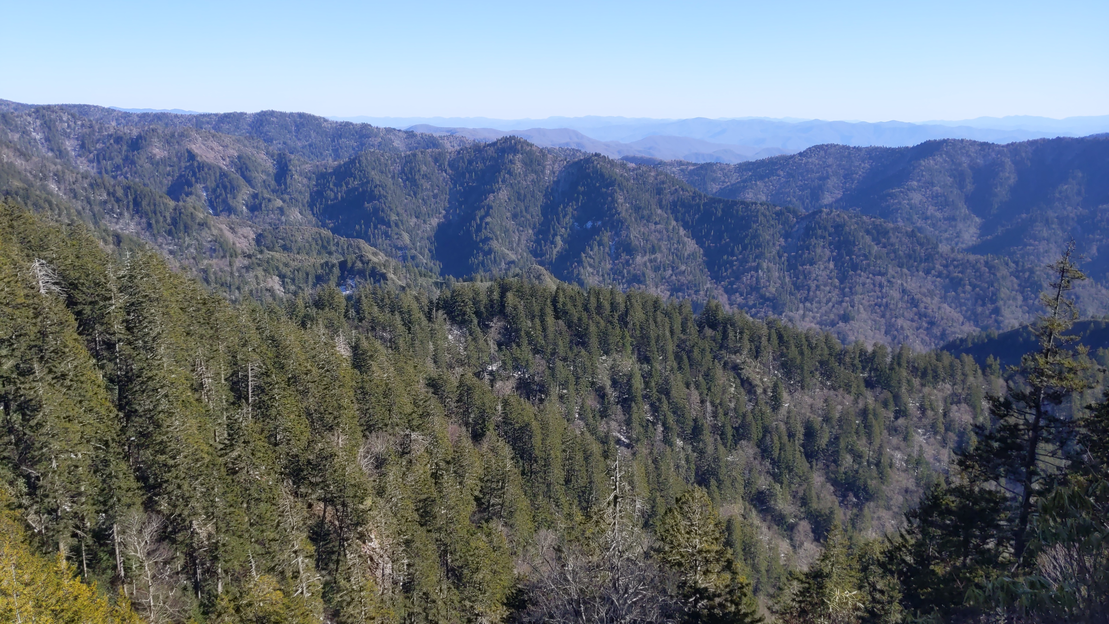
We ate lunch at the LeConte lodge (they were closed, so we brought our own food), and rested their for an hour before completing the 1 mile stretch to the summit. We then made our way down the Alum Caves trail, starting around 4:50 PM.

The Alum Caves Trail (Credit: Mapbox and Openstreetmap)

Here are the pictures I took on the way down.
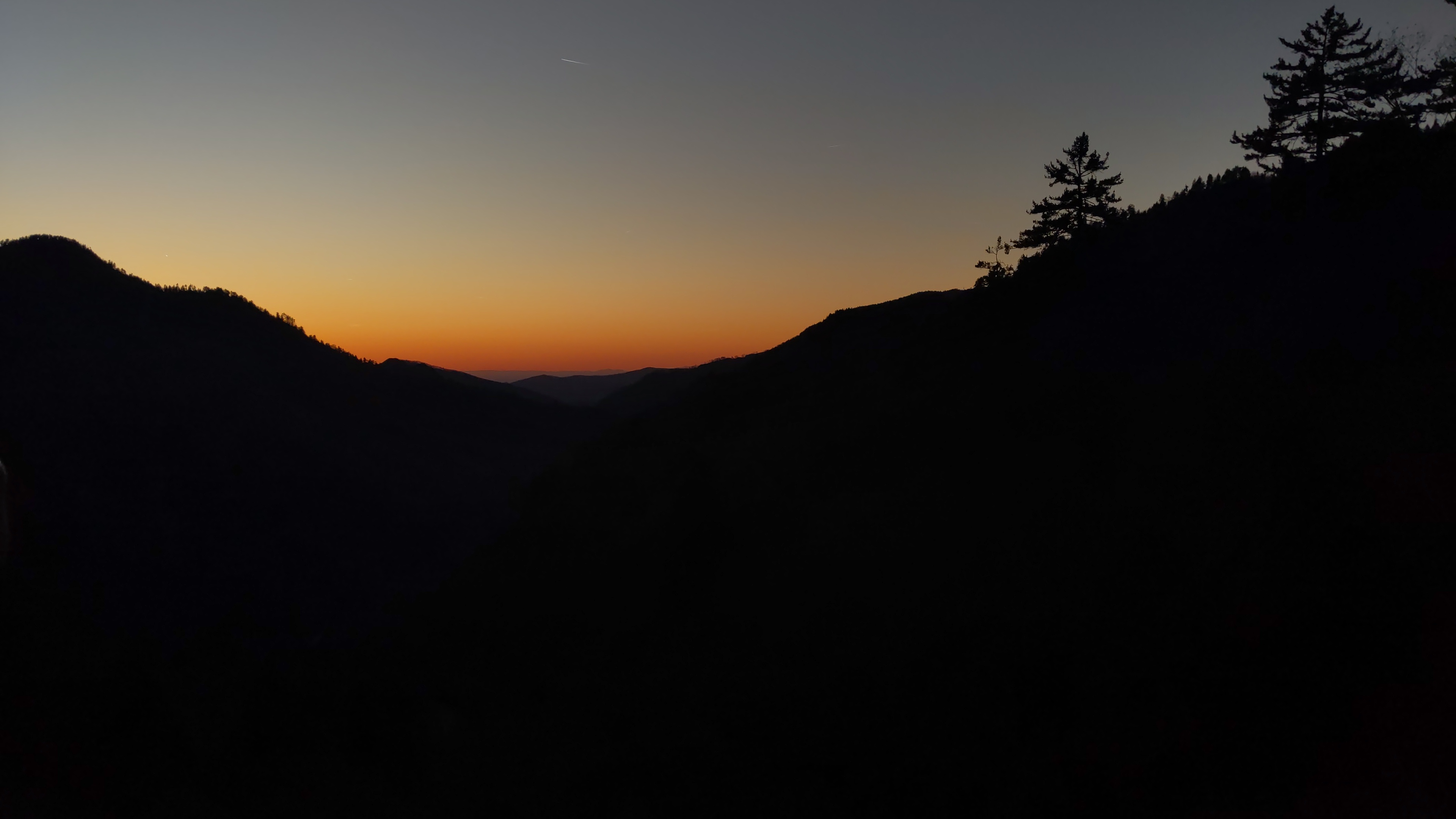
A view from the summit of Mt. LeConte (4:07 PM)

Another picture from the summit. The bush at the bottom separates us from a 6500 foot drop (4:08 PM)

Looking out at the Smokies, from the beginning of the trail. (4:52 PM)

Three trees (spruce?) obstruct the view of the range (4:52 PM)

A panoramic view of the range. The same trees are visible from a different angle(5:00 PM)

The view from a different side of the mountain; comparatively little greenery on this side. (5:28 PM)

Another view of the range, obscured by some trees. The sun’s getting lower. (6:22 PM)

A beautiful panoramic view (6:29 PM)

A view of the trail (7:05 PM)

The trail passes through a small cave (this isn’t Alum Caves) (7:07 PM)

Looking up from the bottom of the cave. (7:08 PM)

A signpost on the trail, near the bottom (7:29 PM)

#Sunset

After the hike, a few of us drove to a lookout point 1.5 miles from the Alum Caves trailhead to watch the sunset. We made it just in time to witness this stunning sight - a fitting end to the day.